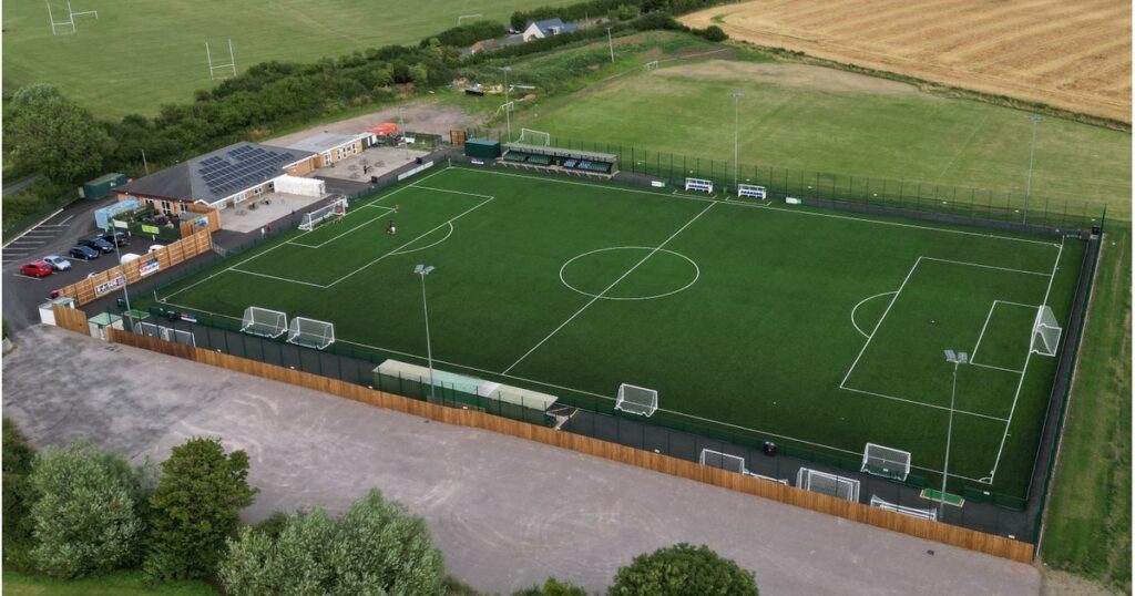
Address: Kayte Lane, Bishops Cleeve, Cheltenham, Gloucestershire, GL52 3PD.
Postcode for Sat Nav: GL52 3PD
For Google Maps location, see below.
Parking is available at the stadium.
Public Transport Directions
By Train: The nearest train station to Kayte Lane is Cheltenham Spa. Supporters are advised to catch the bus from the station to Bishops Cleeve (see details below). Supporters are reminded of Sunday services on weekend matchdays and should plan ahead accordingly.
By Bus: Travel to Bishops Cleeve is supplied by Cheltenham’s D bus which can be caught directly from Cheltenham Spa station forecourt. The nearest stop to the stadium is the “Woodman’s Way” stop on Bishops Drive. From here, the ground is a seven minute walk, along Two Hedges Road onto Kayte Lane.
The D Bus timetable can be found here.
Supporters are reminded of Sunday services on weekend matchdays and should plan ahead accordingly.